August 11, 2025 – Manila, Philippines
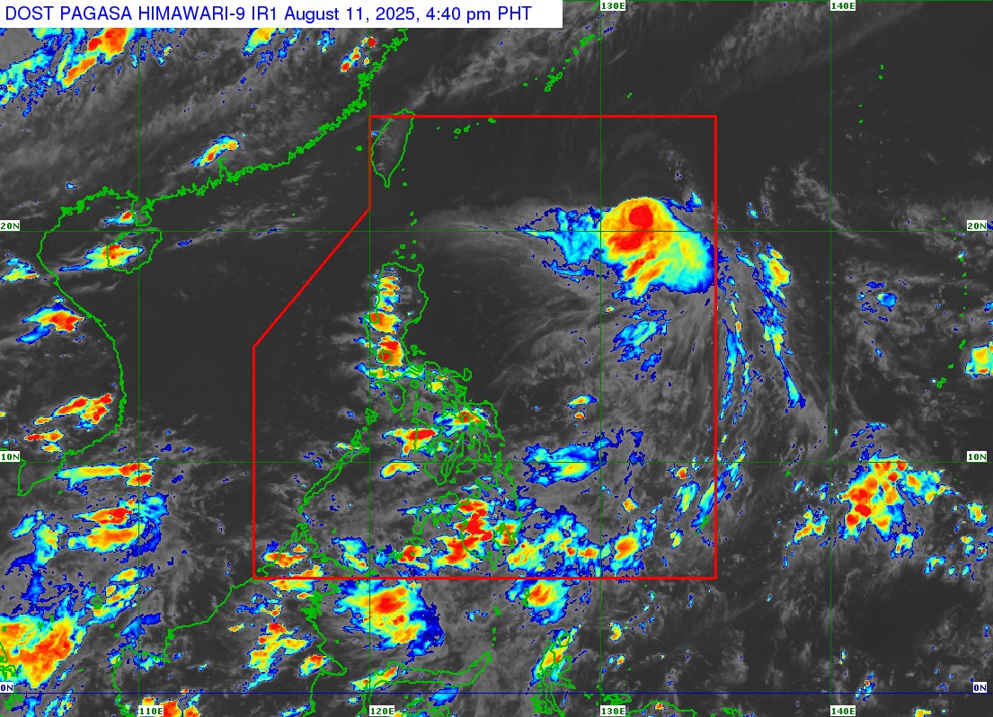
The Philippine Atmospheric, Geophysical and Astronomical Services Administration (PAGASA) reported that Severe Tropical Storm “Gorio” (international name: Podul) has slightly slowed down while moving west-southwest over the Philippine Sea.
As of 4:00 PM, the storm’s center was located approximately 1,060 kilometers east of Extreme Northern Luzon at coordinates 20.5°N, 132.0°E. “Gorio” packs maximum sustained winds of 110 km/h near the center, gusts reaching up to 135 km/h, and a central pressure of 985 hPa. It is moving west-southwest at 20 km/h, with strong to storm-force winds extending up to 300 kilometers from the center.
Currently, no Tropical Cyclone Wind Signal is in effect. PAGASA said the storm is not expected to directly impact the country within the next three days. However, a southward shift in its path could prompt the raising of Signal No. 1 over Extreme Northern Luzon.
Moderate seas of up to 2.0 meters are expected along the coastal waters of Extreme Northern Luzon. PAGASA advised small fishing boats and other similar-sized vessels to exercise caution and, if possible, avoid sailing in such conditions.
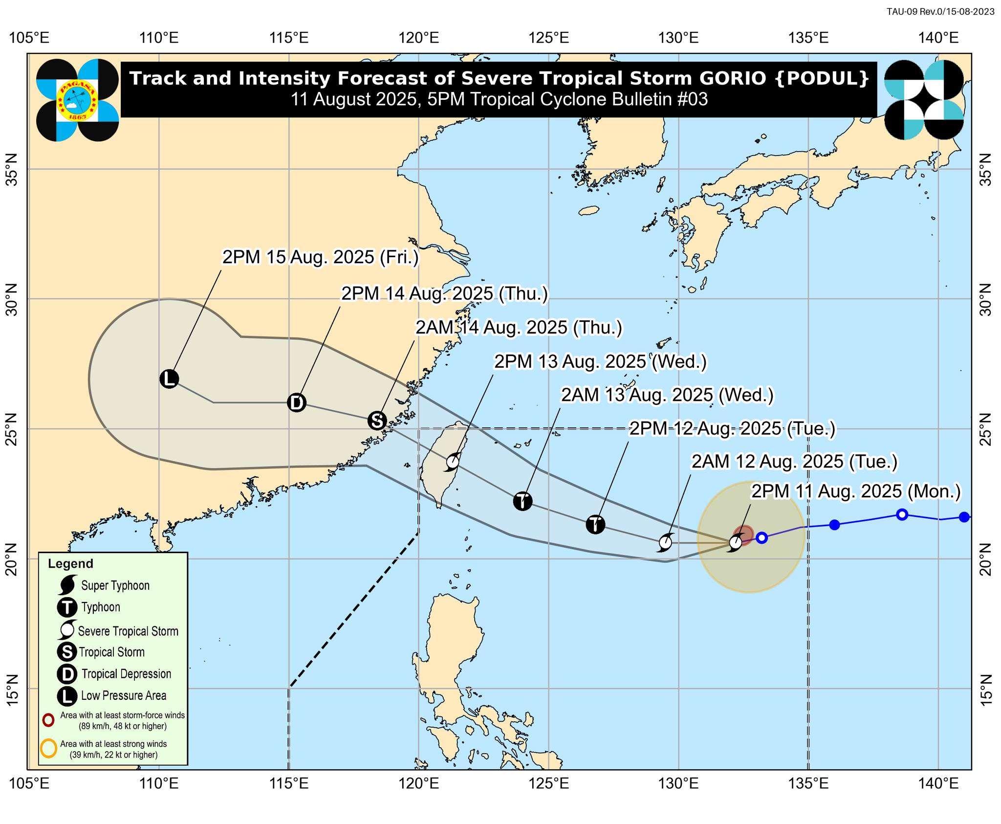
Forecast models indicate that “Gorio” will move westward within the next 12 hours before veering west-northwest by tomorrow afternoon, August 12. The system is projected to make landfall along Taiwan’s eastern coast on Wednesday afternoon, August 13, before exiting the Philippine Area of Responsibility later that evening.
Meteorologists warn that “Gorio” could intensify into a typhoon before hitting Taiwan, then gradually weaken afterward. Authorities urge the public and local disaster risk reduction offices to remain vigilant, follow official advisories, and prepare for possible changes in the storm’s track.
The next tropical cyclone bulletin is set for release at 11:00 PM today.