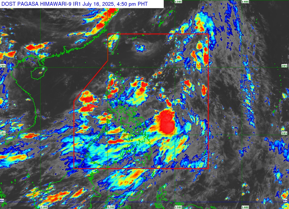
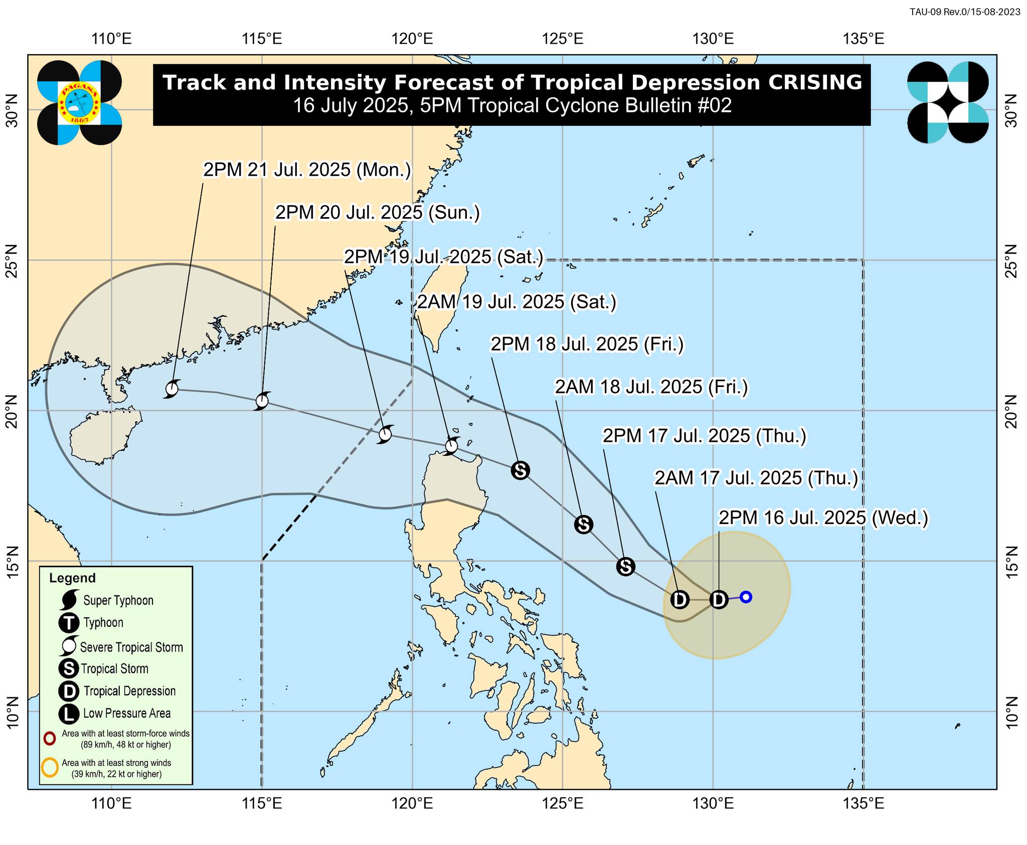
MANILA, Philippines — The Philippine Atmospheric, Geophysical and Astronomical Services Administration (PAGASA) has issued Tropical Cyclone Bulletin No. 2 for Tropical Depression Crising, which continues to move west southwestward over the Philippine Sea, east of Catanduanes, as of 5:00 PM on July 16, 2025.
At 4:00 PM, Crising was located approximately 625 kilometers east of Virac, Catanduanes (13.5°N, 130.0°E), carrying maximum sustained winds of 45 km/h, gustiness of up to 55 km/h, and a central pressure of 1002 hPa. The system is currently moving at 20 km/h.
Though no Tropical Cyclone Wind Signal (TCWS) has been raised yet, PAGASA warns that TCWS No. 1 may be hoisted over parts of Cagayan Valley by tonight or early morning on July 17. Catanduanes may also be placed under Signal No. 1 if Crising’s path remains westward or if its size increases.
🌧 Rainfall and Wind Threats
PAGASA has advised the public to refer to Weather Advisory No. 5 for detailed rainfall forecasts. Crising is expected to enhance the southwest monsoon (habagat), bringing strong to gale-force winds across several regions:
-
Today (July 16): Palawan, Siquijor, Bohol, Camiguin, Southern Leyte, Surigao del Norte, Dinagat Islands
-
Tomorrow (July 17): Batangas, Quezon, Bicol Region, MIMAROPA, Visayas, Zamboanga del Norte, Davao Occidental, Davao Oriental
-
Friday (July 18): Metro Manila, Bataan, CALABARZON, Bicol, MIMAROPA, more areas of Visayas and Mindanao, including Basilan, Sulu, Tawi-Tawi
PAGASA noted that Wind Signals No. 3 or 4 may be raised in the coming days, depending on Crising’s development.
🌊 Hazardous Sea Conditions
The 24-hour sea condition outlook reports rough seas up to 2.5 meters in several coastal areas, including:
-
Western seaboard of Palawan
-
Northern and eastern Catanduanes
-
Zamboanga del Norte and Camiguin
-
Southern Negros Oriental, Siquijor, Bohol, and Southern Leyte
-
Davao Region, Surigao del Norte, and Dinagat Islands
Moderate seas up to 2.0 meters are expected along:
-
Northwestern Occidental Mindoro
-
Southwestern Antique and Negros Occidental
-
Eastern seaboards of Northern and Eastern Samar
Mariners, especially those operating small vessels, are strongly advised to exercise caution or avoid sea travel under these hazardous conditions.
📢 Next Advisory
The next tropical cyclone bulletin for Tropical Depression Crising will be issued by PAGASA at 11:00 PM today, July 16. The public is advised to stay updated and follow advisories from PAGASA and local authorities.