July 19, 2025 — Taipei — Typhoon Wipha, currently classified as a mild typhoon, was located approximately 230 kilometers south of Eluanbi at 2:00 a.m. today, according to the Central Weather Administration (CWA). The storm is moving northwest at a speed of 20 to 25 kilometers per hour and has slightly intensified over the past few hours. Its storm radius has also expanded, prompting continued marine typhoon warnings from weather authorities.
As Wipha’s circulation grows, its storm circle is beginning to enter the Bashi Channel, raising concerns over potential impacts on the Taiwan Strait, the surrounding seas of Dongsha Island, and maritime safety in the region. Coastal areas and high seas should exercise extreme caution.
Heavy Rainfall Alerts Issued
Due to Wipha’s outer rainbands, the CWA has issued heavy rain advisories across multiple counties and cities. Mountainous areas in Hualien and Taitung are expected to experience significant downpours or even torrential rains. Other regions at risk of heavy rainfall include the Hengchun Peninsula, the highlands of Yilan, Nantou, Kaohsiung, and Pingtung, as well as Orchid Island and Green Island.
Localized heavy rainfall may also affect the northern coast of Keelung, New Taipei, Taoyuan, and the mountainous zones of Taichung. Residents in these areas are advised to be on alert for flash floods, landslides, falling rocks, and water accumulation in low-lying communities.
The public is also urged to stay vigilant for lightning, strong winds, and rapidly rising streams, especially in hilly and coastal areas.
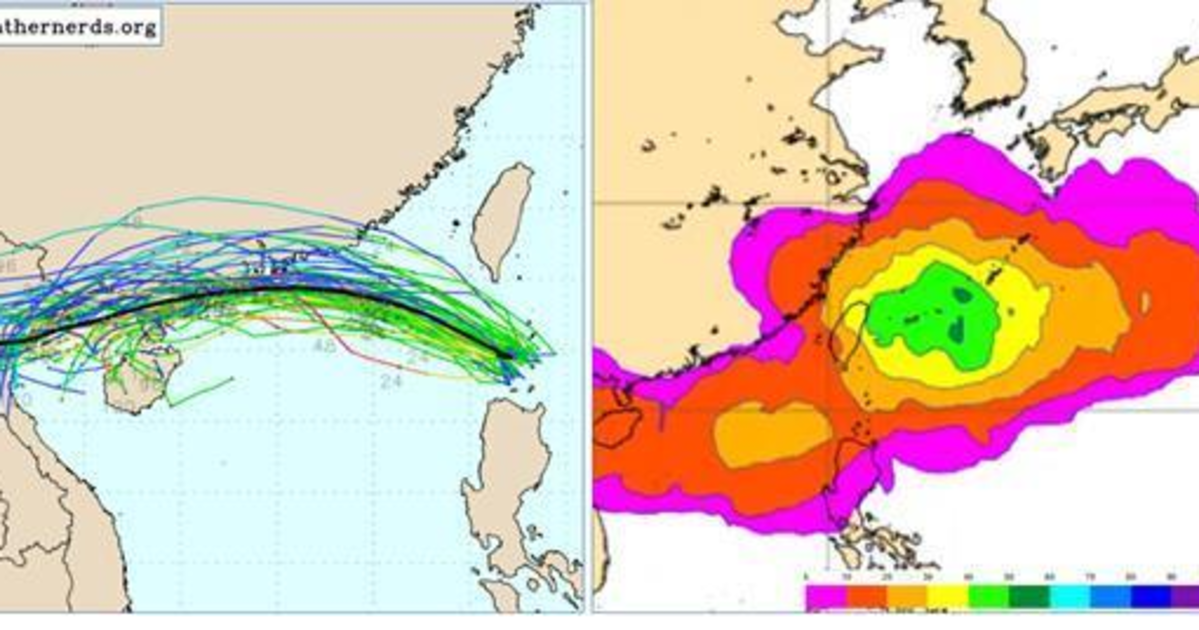
Meteorological Insights: Wipha’s Track and Possible Successor System
Wu Derong, an adjunct associate professor at National Central University, noted in a weather column that Wipha is expected to move through the Bashi Channel today and enter the South China Sea by tomorrow. He forecasted isolated showers in the western part of the island and persistent heavy rainfall across the east and southern Pingtung. Coastal and high-altitude areas may experience strong gusts of wind.
Temperature forecasts for the day range from 24°C to 32°C in the north, 25°C to 33°C in central Taiwan, 25°C to 32°C in the south, and 23°C to 28°C in the east.
According to tracking models from the European Centre for Medium-Range Weather Forecasts (ECMWF) and other global systems, Wipha’s center is expected to pass through the Bashi Channel, make its way into the South China Sea, and potentially make landfall in Guangdong, China.
Wu also warned of a new tropical system forming next week within the monsoon trough. Model simulations suggest multiple potential paths, with the highest probability showing a northward trajectory east of Taiwan. While the threat of a direct hit on northern Taiwan has slightly dropped to around 40%, forecasts remain uncertain and are subject to frequent updates.
Public Safety and Preparedness
The CWA emphasized that all weather advisories from the agency should be taken seriously and that residents, particularly in high-risk and mountainous regions, should prepare for possible emergencies such as landslides, flooding, and infrastructure disruptions.
As Typhoon Wipha advances and another system looms on the horizon, meteorologists urge the public to stay informed through official bulletins and follow local government instructions closely.