September 7, 2025 – Taipei, Taiwan
Taiwan has entered its third straight day of widespread rainfall as Typhoon Tapah, the 16th storm of the season, continues to track northward. The Central Weather Bureau (CWB) reported that the system is moving northwest at 12 kilometers per hour, with its outer circulation funneling large amounts of moisture toward the island.
Meteorologist Wu Derong noted that based on the CWB’s storm probability map, Tapah is currently moving northwest over the southern waters of Guangdong, China. From Sunday night (7) through Monday (8), areas stretching from the Pearl River Estuary to the Leizhou Peninsula may face storm impacts.
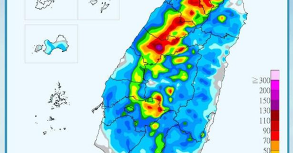
In Taiwan, the typhoon’s peripheral circulation has already brought significant rainfall, particularly in Kaohsiung, Pingtung, Taitung, and Hualien. Weather analyst Wu Shengyu explained that showers and thunderstorms will persist until at least Tuesday (9), with southern and eastern Taiwan bearing the brunt of the rain. He warned of localized heavy to torrential downpours, especially in central and northern regions where afternoon thunderstorms are likely to intensify.
According to forecasts, unstable conditions will continue through Tuesday, before easing midweek. Wu added that Pacific high pressure is expected to strengthen beginning Wednesday (10), reducing afternoon thunderstorms and ushering in more typical late-summer weather—hot, humid conditions with brief localized storms in mountainous areas.
Authorities are reminding the public to remain alert to sudden heavy rainfall, avoid flood-prone areas, and pay attention to real-time weather advisories.